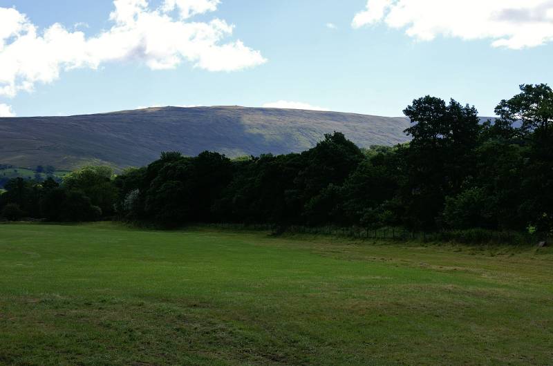
Whernside from Dent return through Deepdale.
Start. Dent.
Route. Dent - Church Bridge - Dales Way - Mill Bridge - Dyke Hall Lane - Craven Way - Whernside Tarns - Knoutberry Hill - Whernside - White Shaw - Deepdale Head - Mire Garth - Dyke Hall Lane - Mill Bridge - Dales Way - Church Bridge - Dent.
Notes. This walk's becoming a tradition, almost an annual excursion, I haven't got a set day or date yet, one thing's for sure, it's by far the best route up Whernside. Whether you walk in using the Occupation Road above Dent or as I did, along the banks of the River Dee, striding out on the Dales Way before ascending the Craven Way one of Yorkshire's many green lanes, this old pack horse route and 17th to 18th century drove road crosses the flanks of Whernside making an ideal route of ascent.
The oddly named Boot of the Wold marks the summit of the Craven Way, here I turned south ascending on a green path passing Whernside Tarns before traversing Knoutberry Hill, after a short crossing a stile allowed access to Whernside's busy summit ridge. From the summit I descended west, crossing Cable Moss an area of extensive shake holes before reaching Thornton Lane, after a short walk over tarmac a stile allowed access to the fields of Deepdale. An initial steep descent followed before a delightful stroll through the valley, passing a number of farms (some abandoned some not) en route to Dyke Hall Lane. From the end of the lane I stepped back onto the Dales Way, all that remained to re-trace my steps to Dent.

Seen from the banks of the River Dee the bulk of Whernside rises above Deepdale.
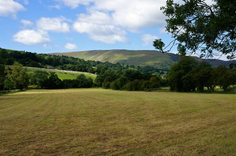
Guarding the entrance to Barbondale, Combe Scar and Barkin Top mark the southern edge of the Middleton Fells.
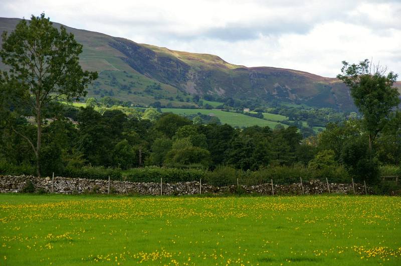
The mighty combe seen from the Dales Way on the banks of the Dee.
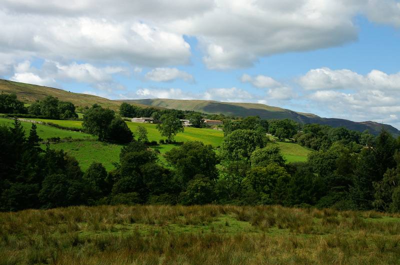
Ascending the Craven Way with views to Calf Top, Barkin Top and Combe Top behind.

Looking to the head of Deepdale.
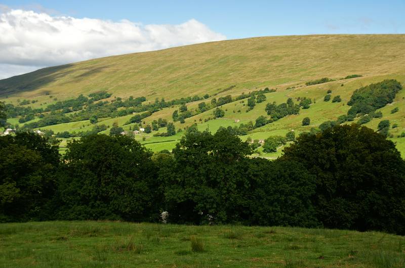
Views over Dentdale to the slopes of Aye Gill Pike.
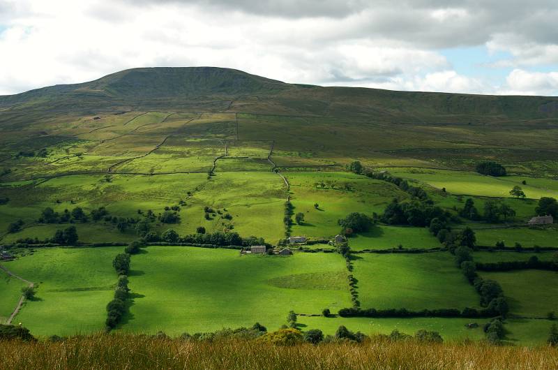
Deepdale in sunlight and shade with Great Coum dominating the scene.
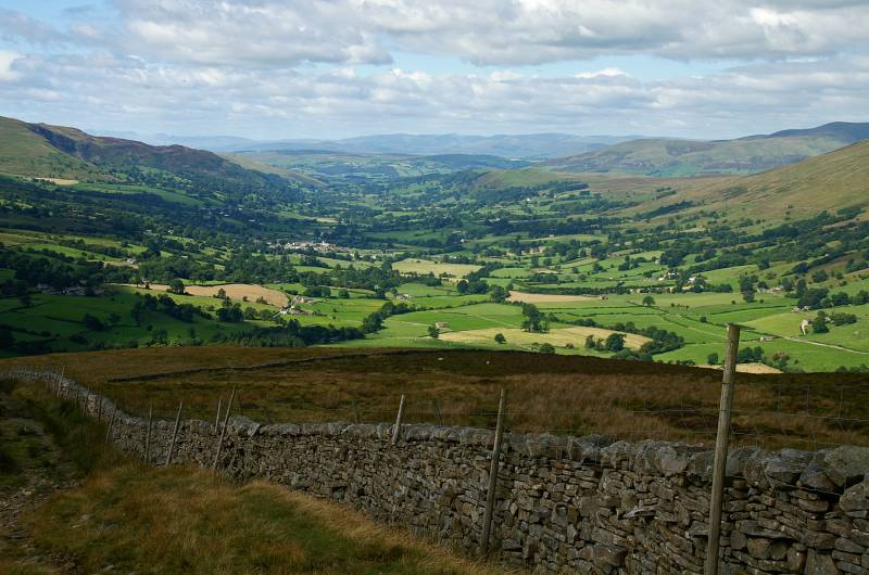
Spectacular views the length of Dentdale.
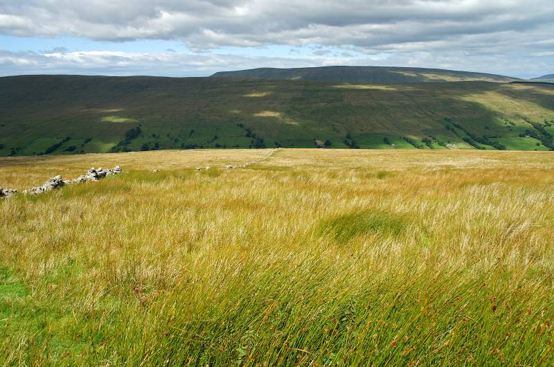
A glimpse of Baugh Fell over Aye Gill Pike.
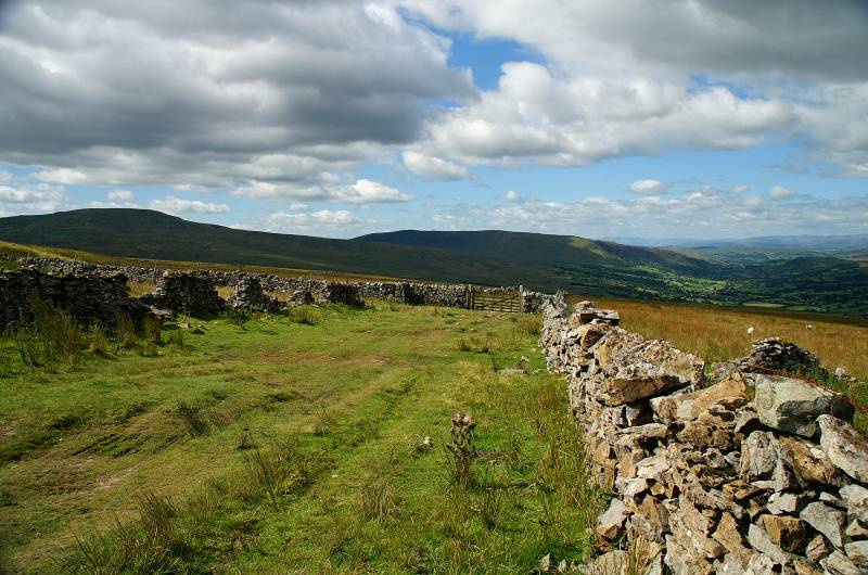
Classic Drove Road, almost as wide as the A6, cattle in their thousands would be driven south from as far north as Crieff in Scotland, to be traded at Gearstones at the head of Ribblesdale.
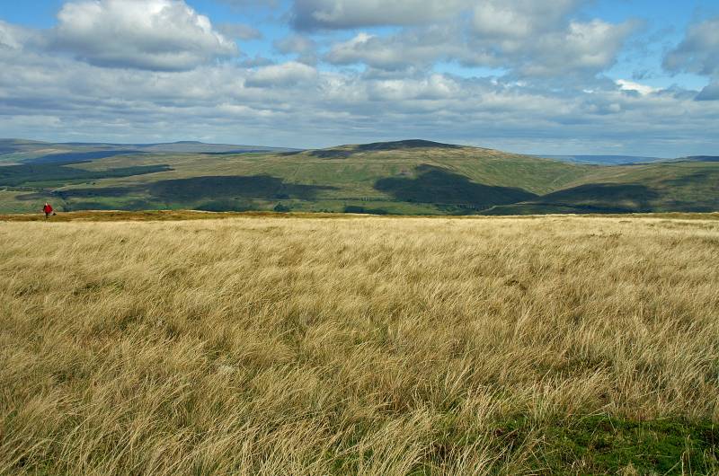
I've now left the Craven Way to make the long easy ascent over Knoutberry Hill, the view, Great Knoutberry Hill across upper Dentdale.
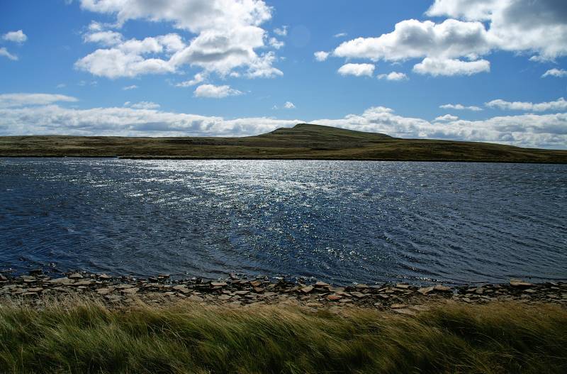
Seen across Whernside Tarns the hill it's self, looking rather small and insignificant from back here.
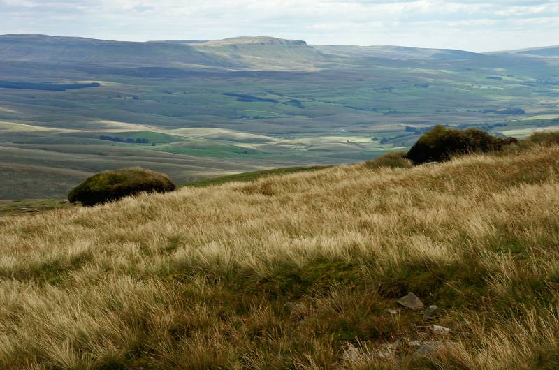
Pen-y-ghent as seen from the peat hags on Knoutberry Hill.
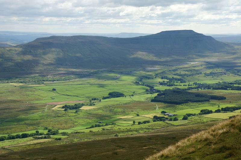
Taking a breather on the summit of Whernside with a stunning view to Ingleborough.
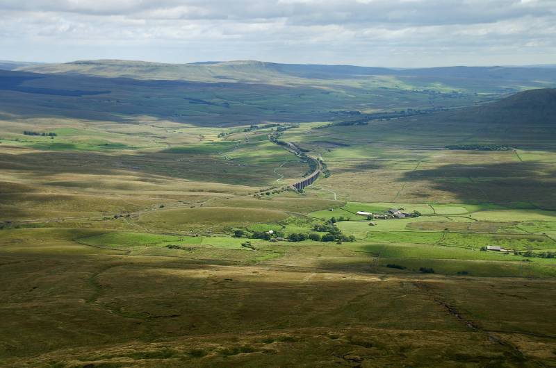
The summit of Whernside provides a fine view point, here we have the Pen-y-ghent skyline over Ribblesdale, I mentioned the drovers earlier well, the land to the left of the viaduct is where the beasts were left to graze while deals were done at Gearstones, just out of shot to the left, of course the Settle to Carlisle railway had yet to be built.

Walkers on the summit ridge with views over Greensett Moss.
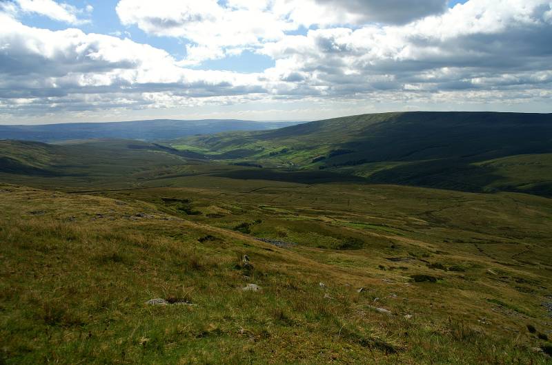
On the far skyline the hills of Bowland, with Gragareth in shadow across Kingsdale.
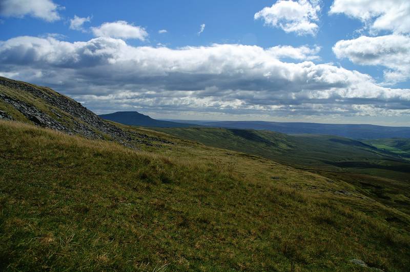
I didn't expect to see that descending the western slopes of Whernside, Ingleborough looms dark on the horizon.
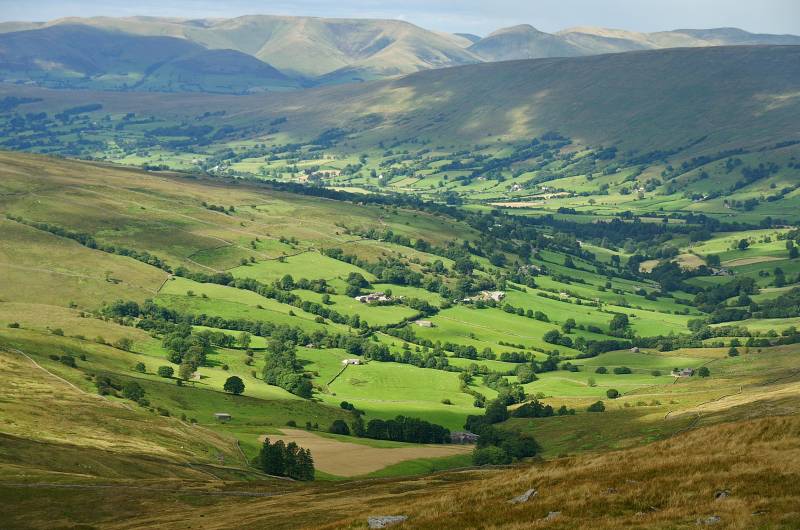
A wonderful view over Deepdale with the Howgill Fells across the skyline.
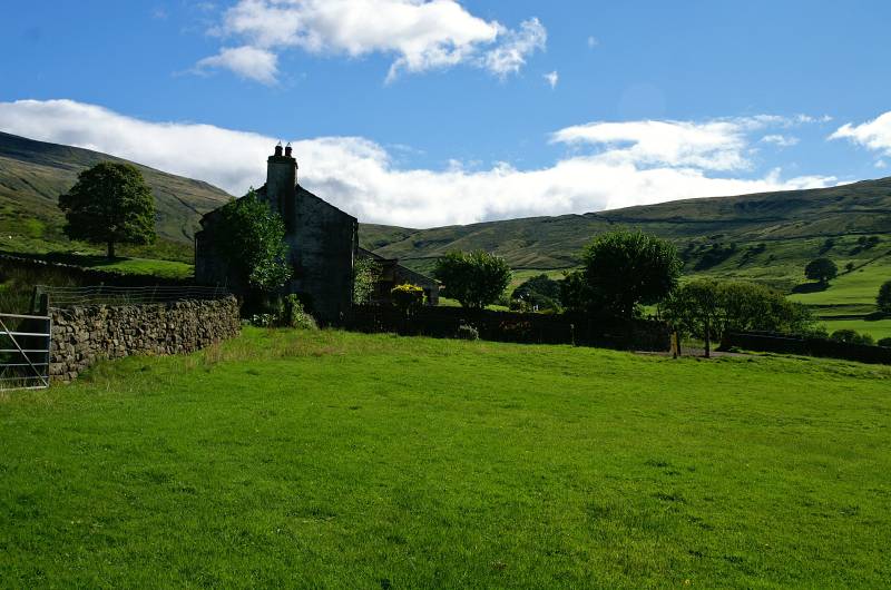
Mire Garth with views to the head of Deepdale.